
The water ahead, on your phone – even without signal.
buoya shows depths, seamarks, tides, currents and wind for your sailing area, plans routes that keep to your draft and keeps working offline.
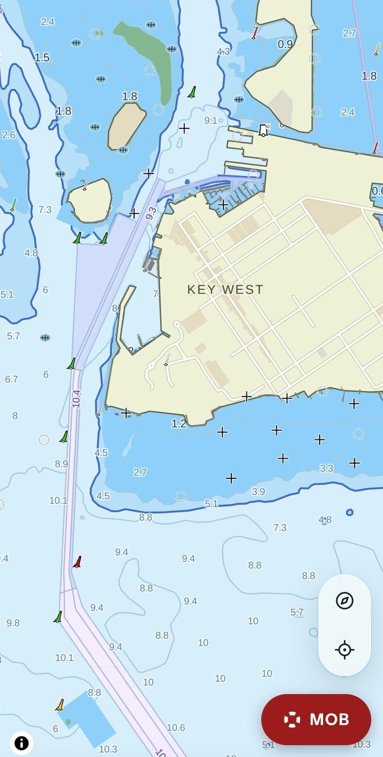
Channels, buoys and shoals, the way the chart shows them
Depth areas, dredged channels and buoyage are drawn from NOAA's electronic navigational charts. Three places on the Florida coast, exactly as buoya draws them.
Key WestMain Ship Channel and the harbor 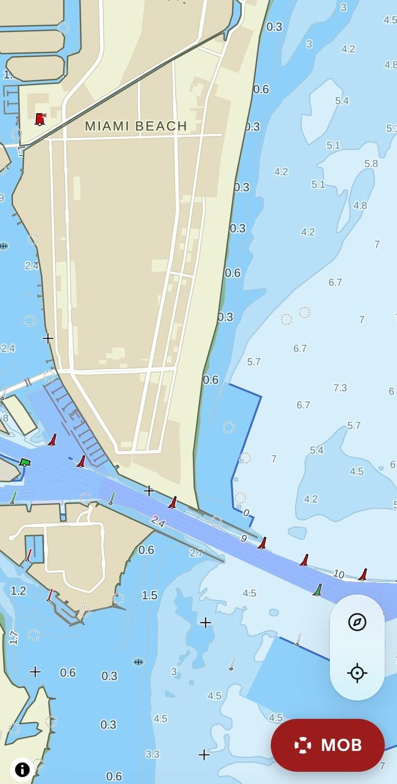
MiamiGovernment Cut 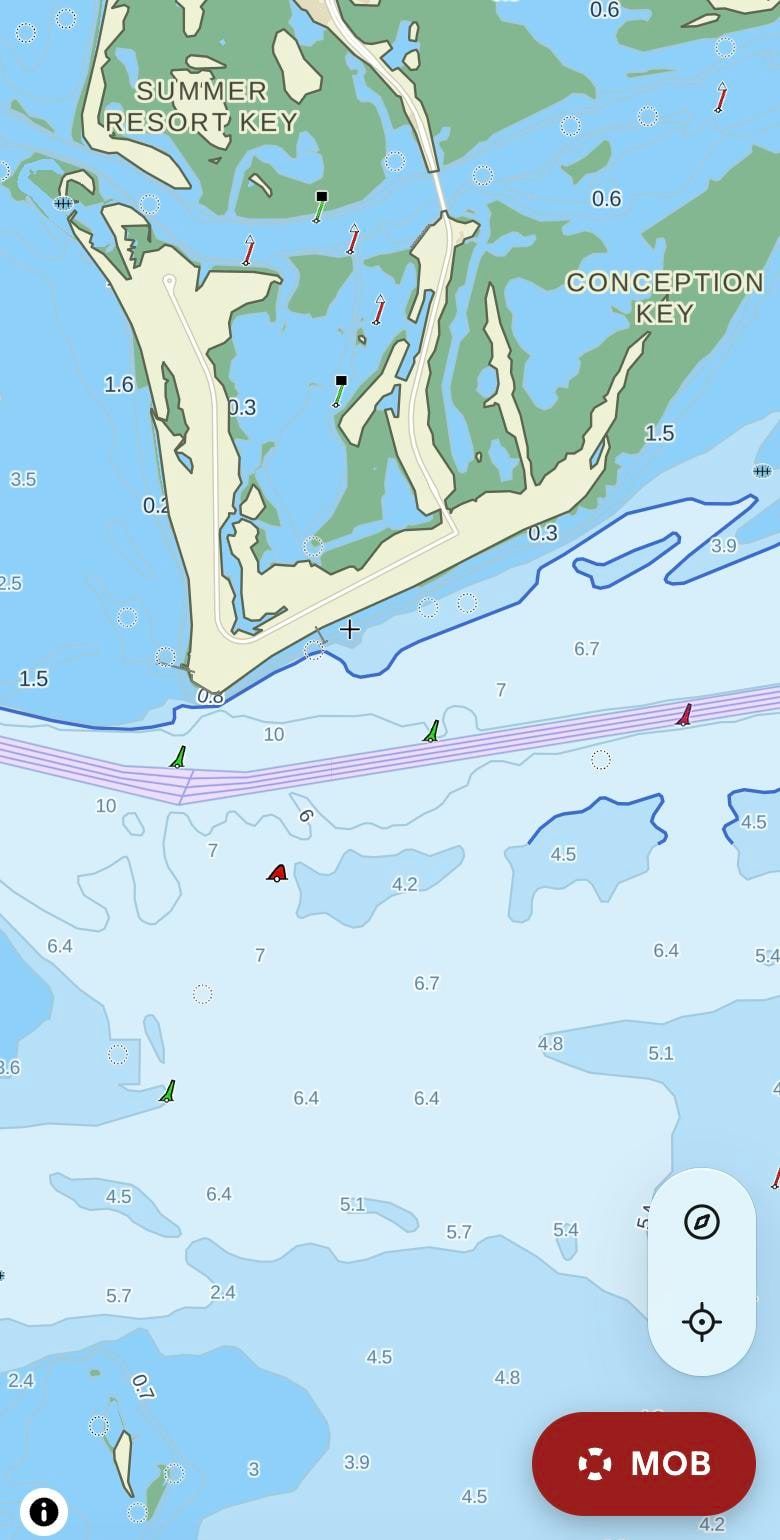
Tampa BayThe channel at Egmont Key
Screenshots from the app. buoya is not a nautical chart – always carry official charts and keep a lookout.Where the pictures and the chart data come from
What buoya does
Depths and seamarks
Depth areas from official survey data, buoys and lights drawn the way they are on the chart.
Tides, currents and wind
Tide predictions, tidal streams and the wind forecast for where you sail.
Routes around the shallows
Plan a passage that keeps to your draft – or let the router sail it by the wind.
Works offline
Download a region before you leave; everything keeps working without signal.
Anchor watch and MOB
An anchor alarm for the night and a man-overboard mode that keeps the track.
Share your trip
A live page for the people at home, with your position and progress.
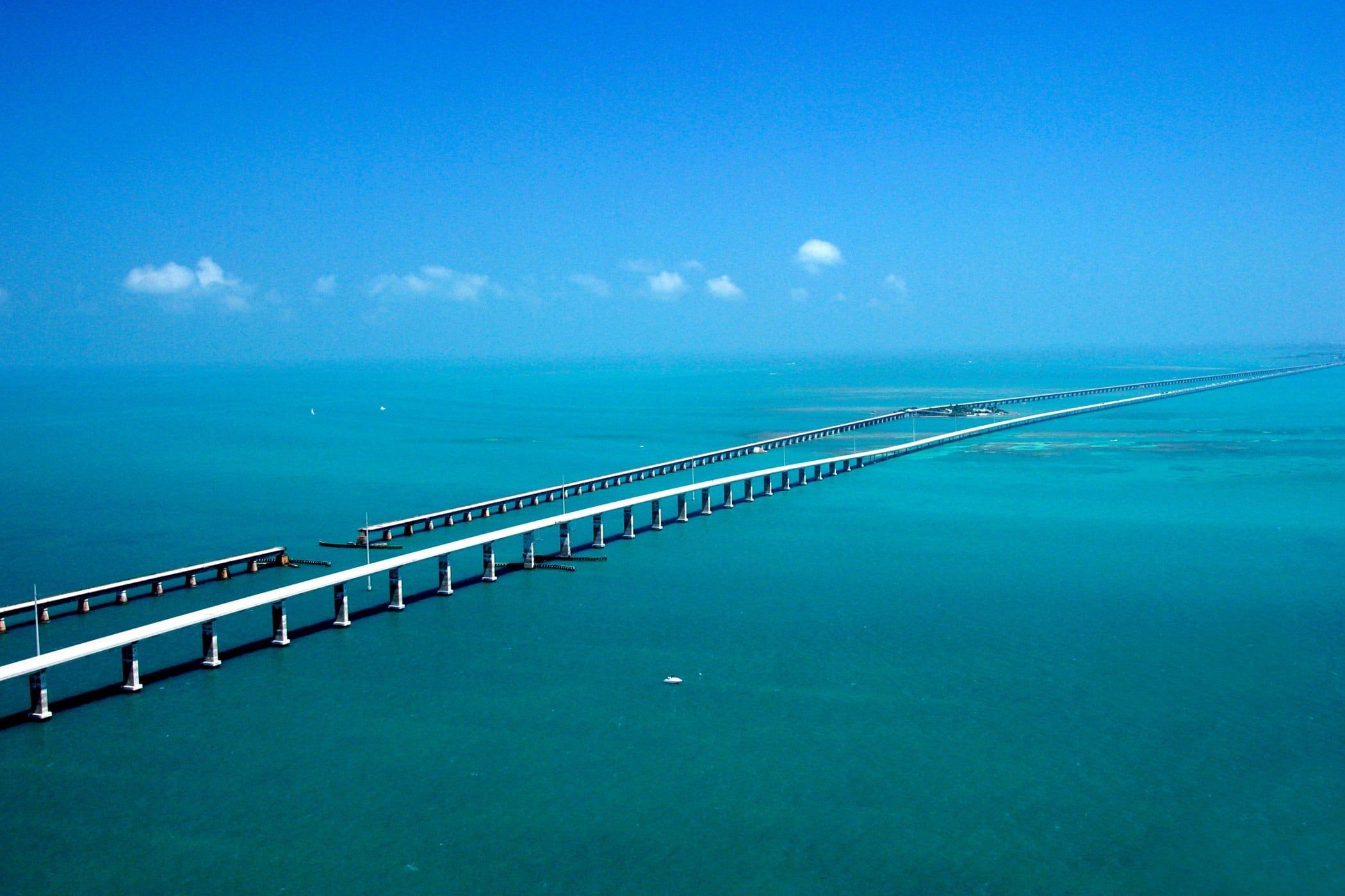
From the Panhandle to the Dry Tortugas.
In the cruising guide
A page for every harbor, mooring field and anchorage – written from the operator, NOAA, the park service and the law, with every figure naming its source and the day it was checked.
Everglades, Florida Bay & Ten Thousand Islands
Florida Keys
- Largo SoundMooring field · Key Largo · Upper Keys
- Rodriguez KeyAnchorage · Key Largo · Upper Keys
- Long Key State ParkState park · Long Key · Middle Keys
- Boot Key HarborMooring field · Marathon · Middle Keys
- Boot Key anchoring areaAnchorage · Marathon · Middle Keys
- Bahia Honda anchorageAnchorage · Bahia Honda Key · Lower Keys
- Niles Channel anchoring areaAnchorage · Summerland Key · Lower Keys
- Cow Key Channel anchoring areasAnchorage · Cow Key Channel · Key West
- Garrison BightMooring field · Key West · north side
- Garrison Bight Flats anchoring areaAnchorage · Garrison Bight · Key West
- Sigsbee anchoring areaAnchorage · Dredgers Key · Key West
- Fleming Key anchoring areaAnchorage · Man of War Harbor · Key West
- Key West Bight MarinaMarina · Key West · Historic Seaport
- Wisteria IslandAnchorage · Key West · Man of War Harbor
- Marquesas KeysAnchorage · West of Key West
- Garden Key, Dry TortugasAnchorage · Dry Tortugas National Park
Florida Panhandle
Fort Lauderdale, Miami & Biscayne Bay
- Las Olas Mooring FieldMooring field · Fort Lauderdale · Intracoastal Waterway
- Miami Beach MarinaMarina · South Beach · Government Cut
- Miamarina at BaysideMarina · Downtown Miami · Biscayne Bay
- Dinner Key Mooring FieldMooring field · Coconut Grove · Miami
- No Name HarborState park · Key Biscayne · Biscayne Bay
- Boca Chita KeyNational park dock · Biscayne National Park
- Elliott KeyNational park dock · Biscayne National Park
Northeast Florida: Fernandina to Ponce Inlet
- Fernandina Harbor MarinaMarina · Fernandina Beach · Amelia River
- St. Augustine Municipal MarinaMarina · St. Augustine · Matanzas River
- San Marco & Menendez MooringsMooring field · St. Augustine · Matanzas River
- Salt Run MooringsMooring field · St. Augustine · Anastasia Island
- Halifax Harbor MarinaMarina · Daytona Beach · Halifax River
Okeechobee Waterway
- St. Lucie Lock and DamLock · St. Lucie Canal
- Indiantown MarinaBoatyard · St. Lucie Canal at Indiantown
- Port Mayaca Lock and DamLock · East side of Lake Okeechobee
- Roland Martin Marina & ResortMarina · Clewiston, southwest side of Lake Okeechobee
- Julian Keen, Jr. Lock and DamLock · West side of Lake Okeechobee
- Moore Haven City DocksMarina · Caloosahatchee Canal at Moore Haven
- Ortona Lock and DamLock · Caloosahatchee Canal
- W.P. Franklin Lock and DamLock · Caloosahatchee River at Olga
Sarasota & Tampa Bay
- Marina JackMarina · Sarasota · Sarasota Bay
- Sarasota Bay Mooring FieldMooring field · Sarasota · Sarasota Bay
- Bradenton BeachAnchorage · Anna Maria Island · north Sarasota Bay
- Egmont Key State ParkState park · Mouth of Tampa Bay · Hillsborough County
- St. Petersburg Municipal MarinaMarina · St. Petersburg · Tampa Bay
- Gulfport Municipal MarinaMarina · Gulfport · Boca Ciega Bay
- Clearwater Harbor MarinaMarina · Downtown Clearwater · Clearwater Harbor
- Clearwater Beach MarinaMarina · Clearwater Beach · Clearwater Harbor
- Caladesi Island State ParkState park · Dunedin · St. Joseph Sound
- Anclote Key Preserve State ParkState park · Tarpon Springs · Gulf of America
Naples to Charlotte Harbor
Space Coast & Indian River Lagoon
Stuart, Jupiter & the Palm Beaches
- Jensen Beach Mooring FieldMooring field · Jensen Beach · Indian River Lagoon
- Manatee Pocket Mooring FieldMooring field · Stuart · Manatee Pocket
- Sunset Bay Marina & AnchorageMarina · Stuart · St. Lucie River
- Lake Worth LagoonAnchorage · Palm Beach · West Palm Beach
- Peanut Island ParkMarina · Riviera Beach · Lake Worth Inlet
Take the water ahead with you.
Download your region at the dock. Depths, seamarks and tides stay on the phone when the signal doesn't.
Pictures and chart data
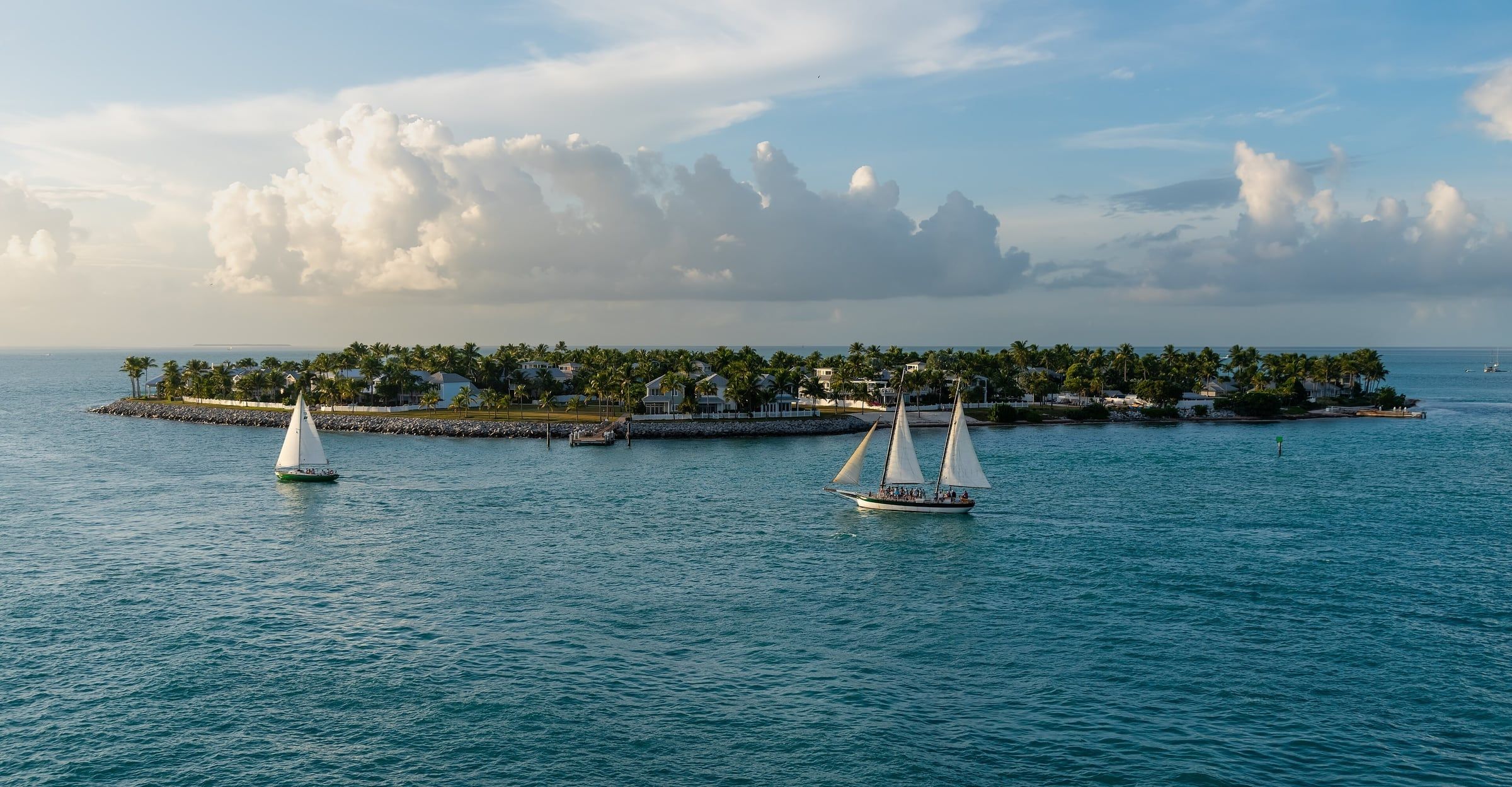
- Sunset Key, Key West · Photo: Julian Lupyan, CC0
- Seven Mile Bridge · Photo: U.S. Department of Transportation, public domain
- Dry Tortugas · Photo: NPS / Denise Diaz, public domain
- App screenshots · Depths and buoyage from NOAA ENC data, processed by buoya – not an official NOAA ENC®. Land, streets and place names © OpenStreetMap contributors (ODbL).


